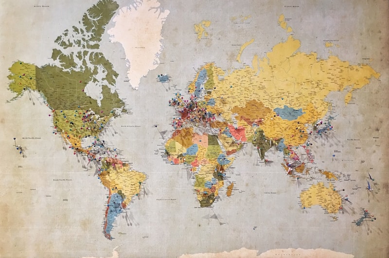
Geographic Data Analysis & Mapping
Transform raw geographic information into clear, accurate visual representations. We process elevation data, watershed boundaries, soil classifications, and land use patterns into custom maps designed for your specific audience—whether technical specialists or general stakeholders.
Deliverables include digital map files, print-ready outputs, and source data documentation. Typical turnaround: 10-14 days.
£247.50